The area guide · Boundary County, North Idaho

Everything worth driving to

A 225‑foot waterfall in forty‑five minutes. Idaho’s biggest lake in thirty. Canada in an hour. Here is the whole valley, sorted by how much of the day you feel like giving it.

Start here

How much of the day have you got?

A spare hour or two

Under 30 minutes out

  • Myrtle Creek Falls
  • Snow Creek Falls
  • Wildlife refuge
  • Moyie Canyon Bridge
  • Bonners Ferry
  • Riverside Park

Half a day

30 to 60 minutes out

  • Sandpoint & the lake
  • Copper Falls
  • Schweitzer
  • Kootenai Falls, MT
  • Creston, BC
  • Bottleneck Lake

A proper day out

An hour or more

  • Silverwood
  • Coeur d’Alene
  • Priest Lake
  • Roman Nose Lakes
  • Ross Creek Cedars
  • Two Mouth Lakes
The main event

Five waterfalls, none of them far

Late spring is peak flow. By late August the small ones quieten down, and in a cold winter Copper Falls turns to ice. Forest road access changes year to year — the Bonners Ferry Ranger Station knows what is open today.

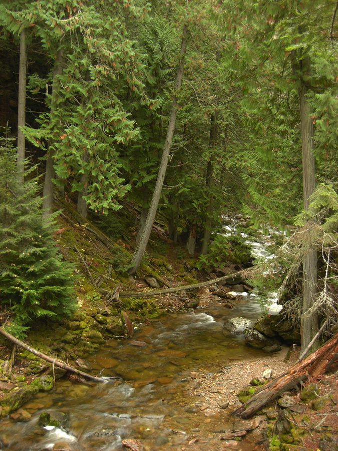
The creek below Myrtle Falls near Bonners Ferry, Idaho — water running through mossy forest. 25min

Myrtle Creek Falls

  • Easy
  • 0.9 mi return
  • ~100 ft
  • No dogs

The one you can do before lunch. Paved as far as the bridge, so a pushchair or wheelchair gets most of the way, then a short dirt trail to a fenced overlook.

Getting there: six miles west of Bonners Ferry on Westside Road, opposite the wildlife refuge office.

Good to know: the drop-offs at the viewpoint are real. Pair it with the refuge auto tour.
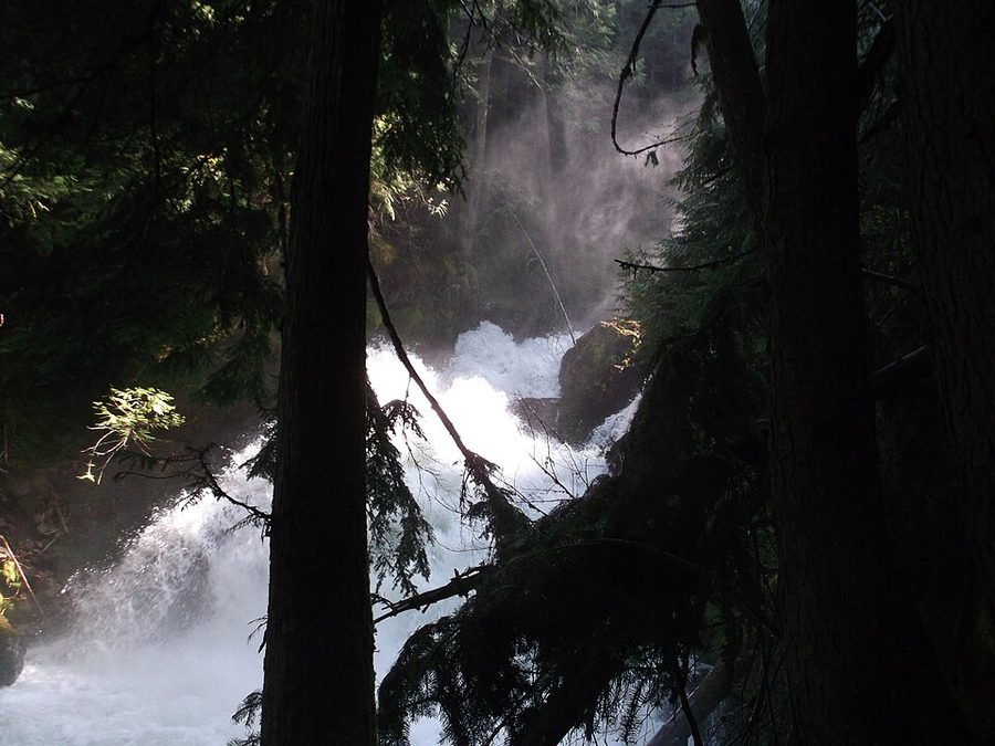
Snow Creek Lower Falls in Boundary County, Idaho — a cascade dropping through dense conifer forest. 30min

Snow Creek Falls

  • Easy
  • 1.7 mi
  • Dogs welcome
  • Two decks

Two falls for one walk — an upper thirty-foot bridal veil and a lower set of cascades, each with its own viewing deck.

Getting there: nine miles southwest of town, 1.2 miles up Road 402 off Lions Den Road.

Good to know: the access road is not maintained year-round. A small pool at the bottom is wadeable when low.

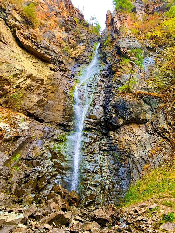
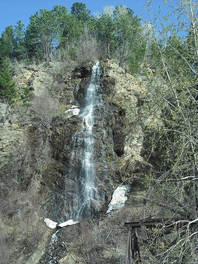
Copper Falls, Idaho — a narrow ribbon of water plunging down a steep rock face. 45min

Copper Falls

  • Easy loop
  • 1.4 mi
  • 225 ft
  • ~150 ft gain

A narrow 225-foot plunge into a mossy cleft — the most dramatic thing on this list for the least effort. Outhouse and picnic area at the trailhead.

Getting there: 33 miles north on US-95 off the Wild Horse Byway; past the Moyie bridge, right on Road 2517.

Good to know: grizzly country — carry bear spray. In a cold winter the whole face freezes.

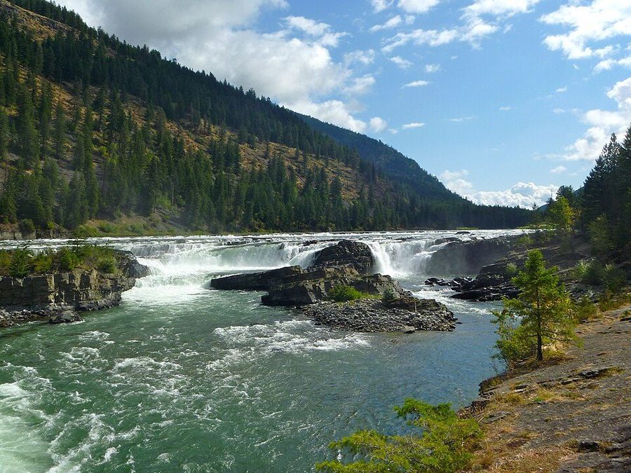
Kootenai Falls in Montana — the Kootenai River dropping in wide white steps through a rocky gorge lined with conifers. 1 hrdrive

Kootenai Falls, Montana

  • Easy–moderate
  • 1.5 mi
  • Swinging bridge
  • No dogs

The largest undammed falls in Montana, plus a swinging footbridge over the gorge that is the real reason people go.

Getting there: east on US-2 between Troy and Libby, around mile marker 21.

Good to know: first 500 feet accessible, rough after. Go early in summer — the car park fills.

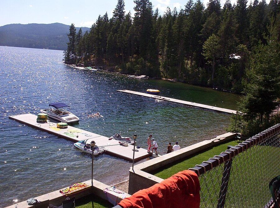
Priest Lake, Idaho — a wooden dock reaching out over clear still water with forested mountains behind. 1:45long one

Granite Falls & the Ancient Cedars

  • Easy–moderate
  • 1 mi loop
  • Old growth
  • High clearance

Old-growth western red cedar that survived the fires that took everything around it, with Granite Falls at the top of the loop.

Getting there: the Roosevelt Grove at the north end of Priest Lake, near Nordman.

Good to know: the forest road ruts after rain or snowmelt. Make a full day and take a picnic.

On foot

Hikes, alpine lakes and very old trees

Everything from a flat paved three-quarter mile to a nine-mile day in the Kaniksu. The high lakes hold snow late — check conditions before an early-season attempt.

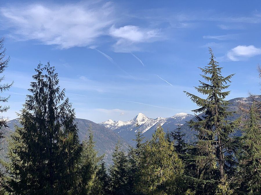
The Selkirk Mountains — layered forested ridges with snow-capped peaks beyond. 1:15drive

Roman Nose Lakes

  • Moderate
  • 4–5 mi
  • Three lakes

Three alpine lakes in the Kaniksu National Forest with an interpretive loop, giant boulders and waterfall views. The classic bigger walk from this side of the valley.

Getting there: about 26 miles west of Bonners Ferry on forest road.

Good to know: high country — check snow conditions before early season attempts.

Lower Two Mouth Lake in the Kaniksu National Forest, Idaho — still water ringed by conifers. 1 hrdrive

Two Mouth Lakes

  • Moderate
  • 9.1 mi
  • Beargrass

The long one. Old logging road sections give way to water crossings and boardwalks, with beargrass in bloom through early summer.

Best for: a group that actually wants a full day on foot.

Take: more water than you think, and bear spray.

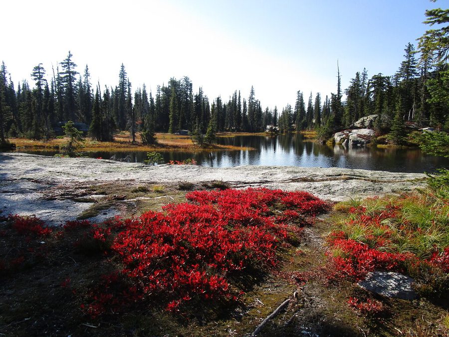
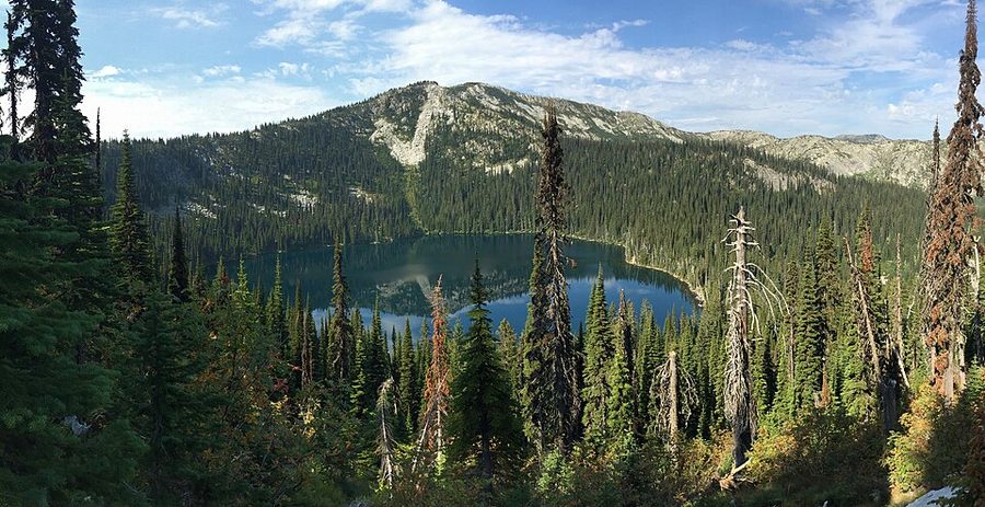
A hidden alpine lake in the Selkirk Mountains of Idaho, held in a bowl of dark conifers. 35min

Bottleneck & Snow Lake

  • Moderate
  • 6 & 7.3 mi
  • Same road

Both leave from the Snow Creek Falls road. Bottleneck is a shallow green lake at six miles; Snow Lake sits under grey cliffs at seven.

Efficient day: the falls in the morning, one of the lakes after lunch.

Underfoot: multiple creek crossings — boots, not trainers.

A trail winding through a grove of ancient cedars in the northern Rockies. 1:30drive

Ross Creek Cedars, Montana

  • Easy
  • 0.9 mi loop
  • 175 ft trees

A hundred acres of giant western red cedar — eight feet through and 175 feet tall — on a wide interpretive loop. Protected since 1960.

Getting there: off Montana Highway 56 just south of Bull Lake, then four miles west.

Check first: the access road has been closed to vehicles since the December 2025 floods; walking and biking in are still allowed. Confirm with the Kootenai National Forest before driving out.

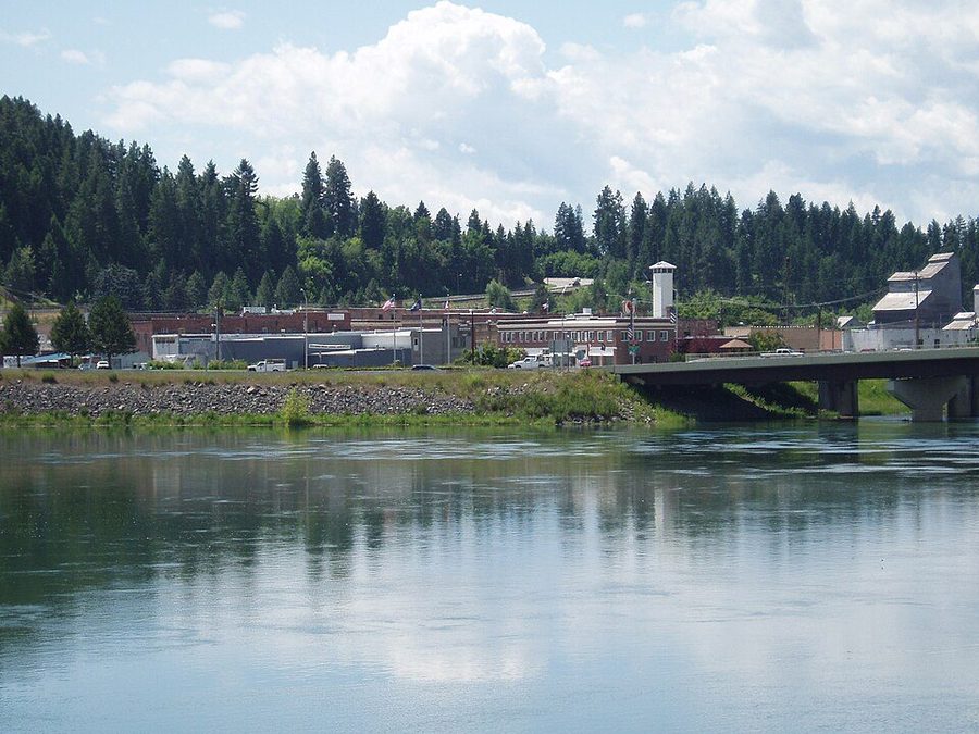
Bonners Ferry, Idaho, seen along the Kootenai River — the town on the bank with the wide river in the foreground. 20min

Two easy town walks

  • Easy
  • 0.8 & 6.1 mi
  • Paved option

Riverside Park in Bonners Ferry is a flat paved three-quarter mile by the water. Section 16 through Paradise Valley is six easy miles if you want more.

Good for: a stretch of the legs rather than an expedition.

Also: both work when the high country is still under snow.

Close to home

Worth doing on a whim

Winter at the Kootenai National Wildlife Refuge near Bonners Ferry — frozen wetland with bare trees and mountains behind. 25min

Kootenai National Wildlife Refuge

  • 2,774 acres
  • Auto tour
  • Free

Wetland and bottomland with a driving loop you can do in half an hour, or trails if you would rather walk. Moose, elk, black bear, beaver.

Best time: spring and autumn migrations, early morning or dusk.

Bonus: Myrtle Creek Falls is on the same road.

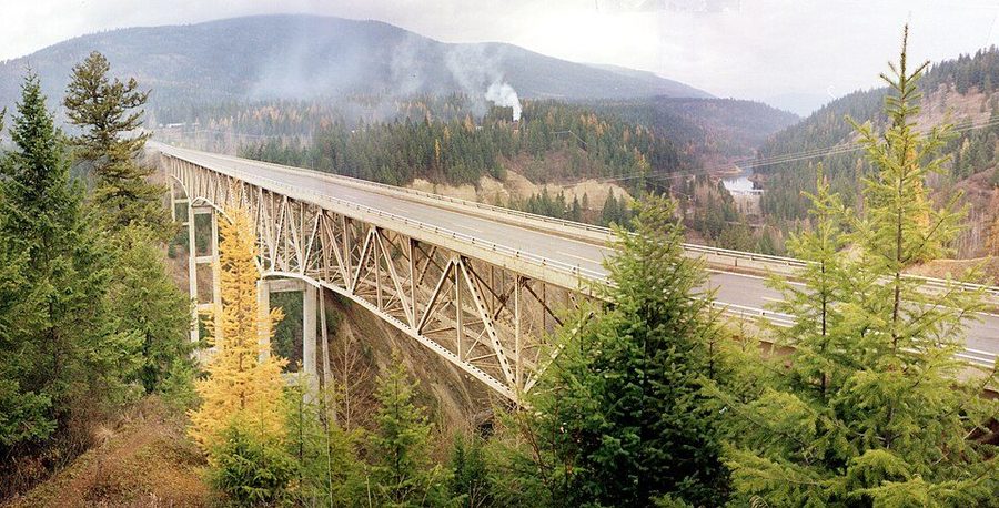
The Moyie River Canyon Bridge carrying US-2 high above the forested Moyie gorge in northern Idaho. 25min

Moyie River Canyon Bridge

  • 464 ft high
  • 1,223 ft span
  • 3rd highest in Idaho

US-2 crosses the Moyie gorge 464 feet up. Startling the first time you drive it, and genuinely worth stopping for.

Getting there: just east of Bonners Ferry at Moyie Springs, mile marker 70.

Do this: pull over on the far side and walk back for the view down the canyon.

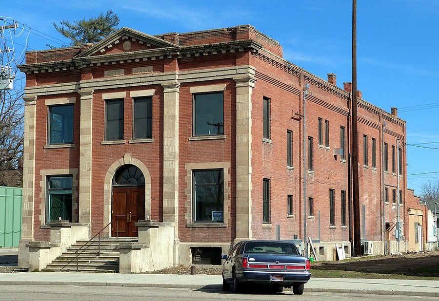
A historic civic building in small-town Idaho, of the era the county museum documents. 15min

Bonners Ferry & the museum

  • County seat
  • Full grocery
  • Fuel

Your nearest everything, and the Boundary County Museum is better than a town this size has any right to be.

Inside: the valley's heritage, the Kootenai Tribe of Idaho, the ferry era and the gold rush that followed.

Good for: a solid ninety minutes on a wet afternoon.

Point the car somewhere

Day trips

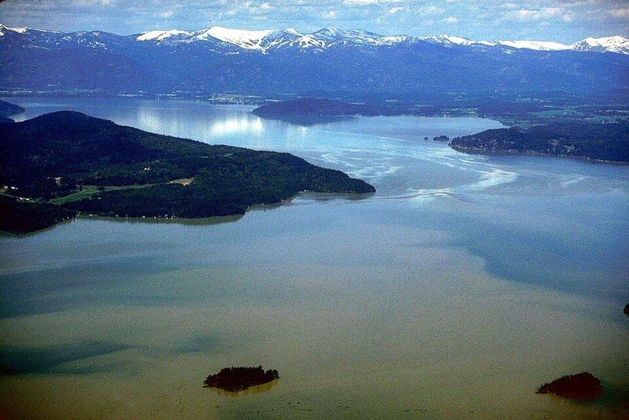
Lake Pend Oreille in northern Idaho — a wide blue lake ringed by forested mountains. 30min

Sandpoint & Lake Pend Oreille

  • Idaho's largest lake
  • Beach
  • Walkable

The default day out. Shops along Cedar Street, swimming at City Beach, and 1.7 flat miles of shoreline on the Pend d'Oreille Bay Trail.

If you want a hill: the Mickinnick Trail climbs 2,000 feet in 3.5 miles for the view over the water.

On the water: ninety-minute sightseeing cruises run in season.

Schweitzer Mountain above Sandpoint, Idaho — open ski runs cut through conifer forest with the valley below. 1 hrdrive

Schweitzer

  • Year-round
  • 20+ mi trails
  • Chairlift

The ski hill above Sandpoint, and not only a winter place. Twenty-plus miles of alpine trails, a lift you can ride for the view, huckleberries in season.

Summer: hiking, biking, and picking on the mountain from late July into August.

Winter: the region's main resort and an easy day from the cabins.

Silverwood Theme Park at Athol, Idaho — the park's steam railway and coffee shop among the trees. 1:15with kids

Silverwood Theme Park

  • 413 acres
  • 7 coasters
  • Water park included

The largest theme park in the Northwest and the northernmost in the country. Boulder Beach water park comes with the same ticket.

Getting there: straight down US-95 to Athol — past Sandpoint, before Coeur d'Alene.

Season: roughly May to late October. Leave early; the drive home is at deer o'clock.

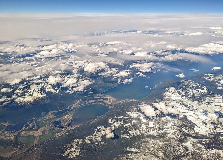
Kootenay Lake and Duck Lake from the air near Creston, British Columbia — flat farmland giving way to a long blue lake between mountains. 1 hr+ border

Creston, British Columbia

  • Another country
  • Orchards
  • Kootenay Lake

North on Idaho SH-1 through the Porthill–Rykerts crossing. An orchard valley at the south end of Kootenay Lake, with a very good drive up the lake beyond it.

Before you go: passports for everyone, and the crossing keeps shorter hours in winter.

Worth it for: fruit stands in season and a completely different valley.

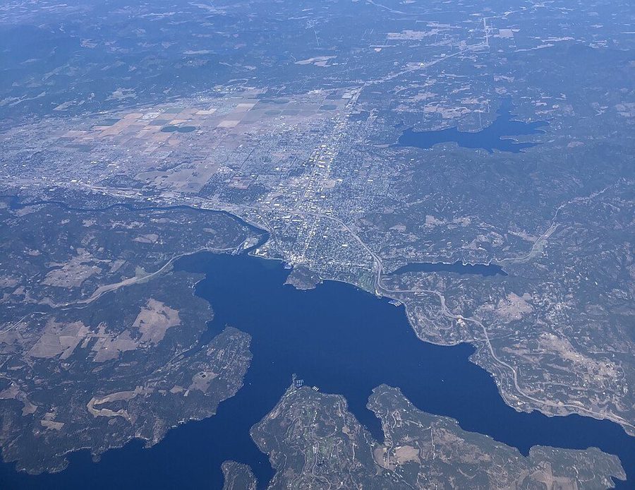
Aerial view of Coeur d'Alene, Idaho — the town on the shore of a large blue lake surrounded by forested hills. 1:30drive

Coeur d'Alene

  • Resort town
  • Big lake
  • Most amenities

Ninety minutes south and the biggest town within reach — a resort lakefront, a long floating boardwalk, proper shopping and every chain you have been doing without.

Good for: a rainy day, a birthday, or restocking anything Bonners Ferry does not carry.

Combine it: with Silverwood, which is on the way back.

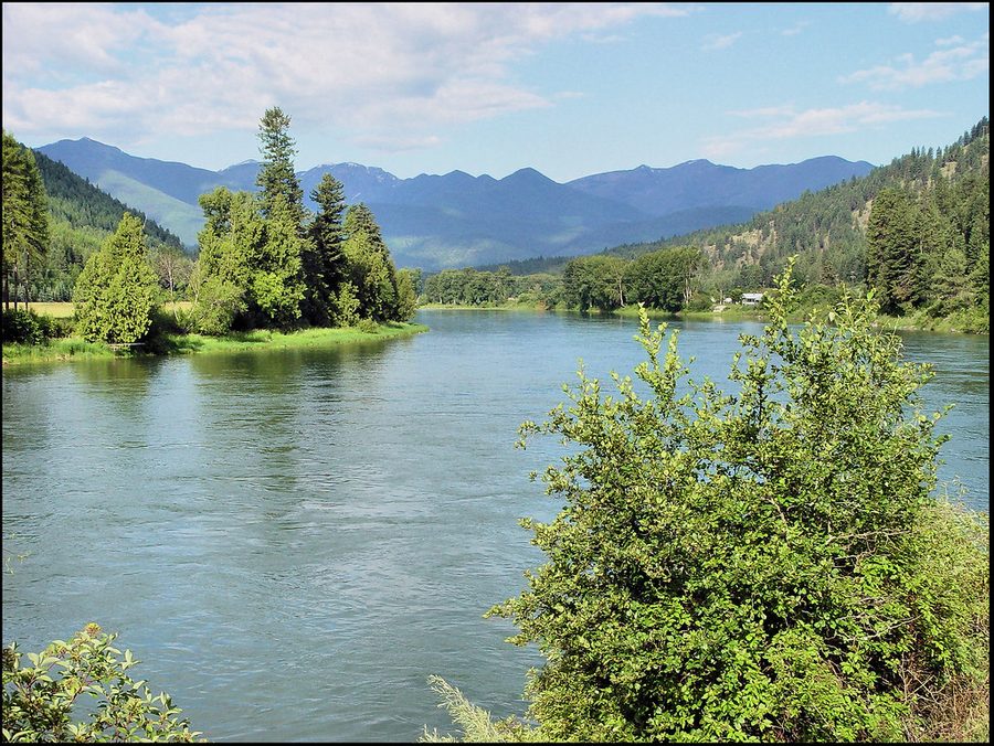
The Kootenai River running through northwest Montana between forested slopes. 1 hrover the line

The Montana side

  • Kootenai Falls
  • Troy & Libby
  • Autumn larch

US-2 east follows the Kootenai River into Montana, past the falls and the swinging bridge, on to Troy and Libby. A beautiful road in its own right.

In autumn: the larch along it turn gold before they drop.

Pair it with: Ross Creek Cedars, if the road has reopened.

Supplies and suppers

Where to eat, and where to get what you forgot

Rural Idaho: kitchens close earlier than you expect and hours move with the season. Ring ahead if you are driving specially, and do the big shop in Bonners Ferry on the way in.

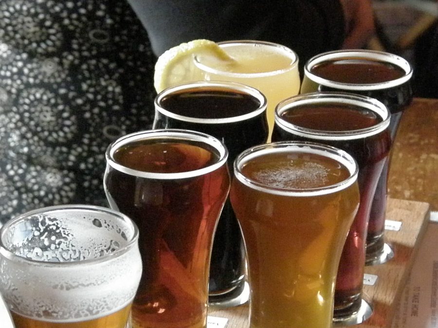
A flight of craft beers on a bar — the sort of thing the local brewery pours. 15min

Bonners Ferry

  • Nearest good food
  • Full grocery

Kootenai River Brewing brews on site with local hops and is the reliable group dinner. Under The Sun does lunch, good coffee and huckleberry lemonade.

For the cabin: The Gathering Place is a country store, bakery and produce stand in one.

Also: the Badger Den for breakfast; the Kootenai River Inn has a casino and spa.

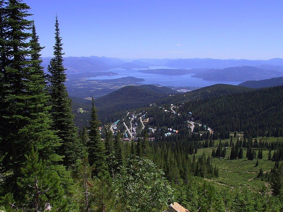
Sandpoint, Idaho seen from Schweitzer Mountain — the town on the edge of Lake Pend Oreille with mountains beyond. 30min

Sandpoint

  • Proper night out
  • Most choice

Where the actual choice is. MickDuff's Brewing Company is the anchor and the streets around Cedar Street carry the rest.

Best approach: wander and decide on the spot rather than booking.

Make it a day: pair it with the beach in summer or Schweitzer in winter.

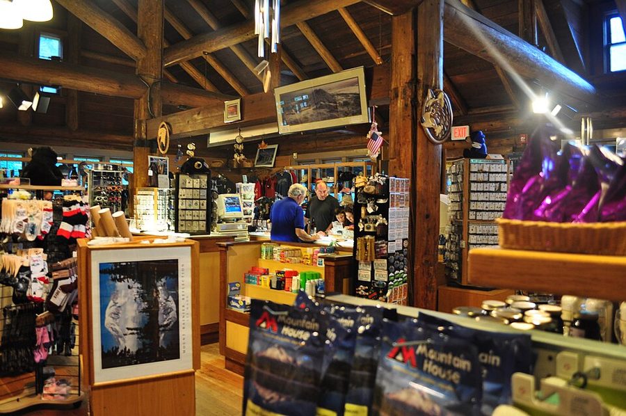
The interior of a historic general store, shelves stacked with goods. useful

Rainy days & odd hours

  • Antiques
  • Cinema
  • Golf

3 Mile Antique Mall at the US-95 and US-2 junction is a genuinely good rummage, and The Pearl Theater runs films and live performance.

Nine holes: Mirror Lake Golf Course is the local course.

Most useful stop in the county: the Bonners Ferry Ranger Station, if you plan to be on forest roads.

For the days you just want to drive

Three roads worth taking slowly

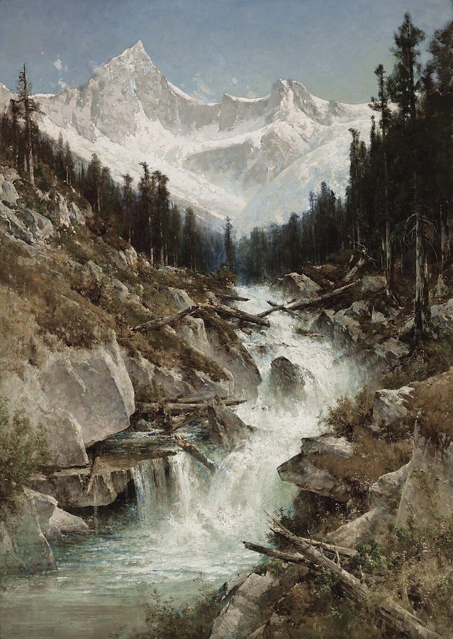
A peak in the Selkirk Mountains, the range the international loop circles. loop

The International Selkirk Loop

  • Idaho
  • Washington
  • British Columbia

North America's only multi-national scenic loop, circling the Selkirk range through three jurisdictions. Bonners Ferry sits on the route.

Do a piece: an afternoon segment, or the whole circuit across two or three days.

Side trips: hang off it in every direction.

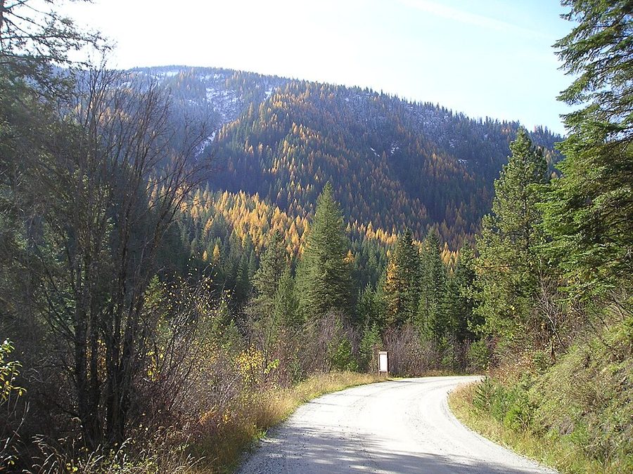
Autumn colour along a forest road in the northern Rockies. 1 hreach way

The Wild Horse Trail Scenic Byway

  • US-95 north
  • To the border

The old route to the Wild Horse goldfields, running north from Bonners Ferry to Canada. Short, easy, and the mountains close in as you go.

On the way: Copper Falls is signposted off it.

Good for: a half day with one very good stop in the middle.

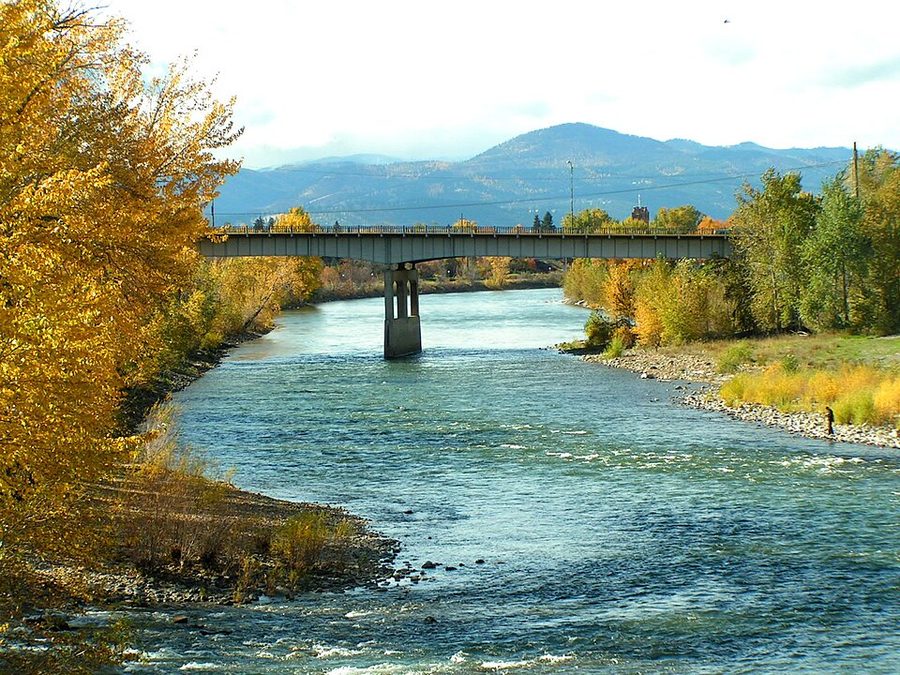
The Clark Fork river in autumn, running between forested hills. 1 hreach way

The Pend Oreille Scenic Byway

  • South of Sandpoint
  • Lake & river

Along the lake and the Clark Fork river south of Sandpoint. Best in autumn when the larch turn.

Combine it: with a day in Sandpoint rather than driving it on its own.

Peak colour: October, most years.

Four very distinct moods

What is good, and when

Spring snowmelt running down a rocky mountainside. Mar–May

Spring: water everywhere

  • Peak flow
  • Bird migration

Snowmelt puts every waterfall on this page at its loudest, and late spring is the single best window for Myrtle, Snow Creek and Copper.

Also: the refuge fills with returning migratory birds.

Watch for: higher forest roads still closed. Check before heading up.

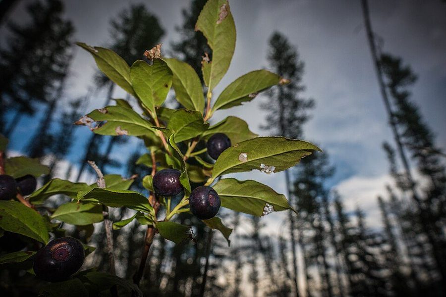
Ripe huckleberries on the bush — small dark purple berries among green leaves. Jun–Aug

Summer: lakes and huckleberries

  • Silverwood open
  • Long light

Pend Oreille and Priest Lake come into their own, Silverwood is running, and huckleberries ripen from late July into August.

Picking: by hand only on the mountain — and you are sharing the patch with bears.

Light: usable until nearly ten at night.

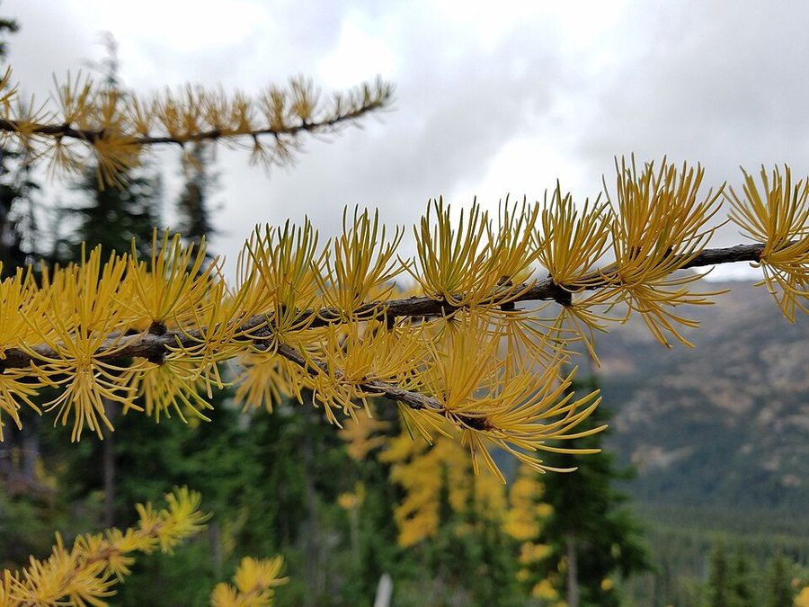
Western larch in autumn — conifers turned bright gold among green evergreens on a mountainside. Sep–Oct

Autumn: the larch turn

  • Gold hillsides
  • Empty trails

The best-kept secret of the year. Western larch is a deciduous conifer, and in October whole hillsides go gold before the needles drop.

Best drives: the Montana road and the Pend Oreille byway.

Also: fall migration at the refuge, and nobody on the trails.

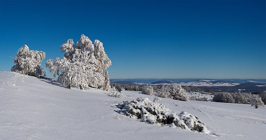
Snow-laden trees on an open ridge under a hard blue winter sky. Nov–Feb

Winter: snow, and quiet

  • Schweitzer
  • Frozen falls

Schweitzer is the main event. Closer to home, snowmobiling around Snow Creek and Roman Nose, and ice skating in Bonners Ferry.

If the road allows: Copper Falls freezes into something remarkable.

Come prepared: proper tyres, and an early dusk.

Before you set off

Six things worth knowing

This is bear countryGrizzly as well as black, especially north and west. Carry spray, make noise on blind corners, never leave food at a trailhead.
Signal dies fastCell service goes the moment you leave the highway. Download offline maps — several trailheads have nothing at all.
Forest roads are seasonalConditions change year to year, and some are still shut after the December 2025 floods. The Bonners Ferry Ranger Station knows what is passable today.
Fuel in Bonners FerryStations thin out fast heading north, east into Montana, or west toward Priest Lake.
Canada needs passportsEveryone in the car, children included. The Porthill crossing keeps shorter hours in winter — confirm the day before.
Hours are small‑townSeasonal and changeable. Ring ahead for a specific meal, and tell us what you find so we can keep this page honest.
Base camp for all of it

Stay a few nights and actually see the place

Four cabins, four yurts and the Tamarack sleep more than forty between them. Most of what is on this page is a morning out and back.

Area photographs are used under free licences from Wikimedia Commons, and remain the work of their photographers: Payette City Hall-Courthouse 2 - Payette Idaho — Ian Poellet, CC BY-SA 4.0; Hidden Lake in Selkirk Mountains, Idaho (29099805720) — David Taylor from Coeur d Alene, United States, CC BY 2.0; Fall Clark Fork — The original uploader was Sooter at English Wikipedia., CC BY-SA 3.0; Sir Donald Peak in the Selkirk Mountains, Canadian Pacific by Thomas Hill — Thomas Hill, Public domain; Fall Colors (4866632889) — Forest Service Northern Region from Missoula, MT, USA, Public domain; Aerial view of Coeur d'Alene, Idaho — Jsayre64, CC BY-SA 4.0; Copper Falls — Forest Service - Northern Region, Public domain; 20100206 Yazoo Sampler — Dan4th, CC BY 2.0; Huckleberry (Vaccinium membranaceum) (43741431161) — GlacierNPS, Public domain; Kootenai Falls — Bjorn, CC BY-SA 2.0; Winter scenes at Kootenai National Wildlife Refuge (51759821855) — USFWS Pacific, Public domain; Bonners Ferry along Kootenai River th — Unknown authorUnknown author, Public domain; Duck Lake and Kootenay Lake aerial — Dicklyon, CC BY-SA 4.0; Western larch during autumn — ECTran71, CC BY-SA 4.0; 18004 Kootenai River — Raymond Hitchcock, CC BY-SA 2.0; Us-id-boundary-moyie-bridge — Idaho Department of Commerce - Idaho Tourism, CC BY-SA 3.0; creek below Myrtle Falls — pellaea, CC BY 2.0; Lake Pend Oreille — U.S. Army Corps of Engineers, photographer not specified or unknown, Public domain; Priest lake Idaho dock — Valerie Burri, Public domain; Longmire General Store interior 02 — Joe Mabel., CC BY-SA 3.0; Trail in Settlers Grove of Ancient Cedars, Idaho (35539949006) — David Taylor from Coeur d Alene, United States, CC BY 2.0; Sandpoint Idaho from Schweitzer — Flickr user: Alvin Feng from Seattle, CC BY 2.0; Schweitzer Mountain (2) — Lómelinde, Public domain; Selkirk Mountains looking west — C MacDonald, CC BY-SA 4.0; Silverwood Theme Park Train and Coffee Shop — Jeff Pittman, CC BY-SA 4.0; Snow Creek Lower Falls - panoramio — frog&kat, CC BY 3.0; Waterfall Idaho Springs — Ralphmiester, Public domain; Lower Two Mouth Lake — Forest Service - Northern Region, Public domain; Winter auf dem Melpertser Rasenberg — Jörg Braukmann, CC BY-SA 4.0. Photographs of the retreat itself are our own.